UN
Camden
£ 405,000
Description
We don't have a Description for this property.
- Bedrooms
- 3
- Bathrooms
- 0

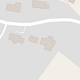


Leaflet © OpenStreetMap contributors
The heatmap indicates the level of crime in the area. The color of the heatmap indicates the crime severity and recency.
Metrics Year-on-Year
- Average area value
- 516,495.00 £Increased by 21.22 %
- Average area rental value
- 4,100.00 £/moIncreased by 173.33 %
- Est rental Yield
- 9.53 %Increased by 125.83 %
- Crime Rate
- 0.00 %
from 426,079.00 £
from 1,500.00 £/mo
from 4.22 %
from 0.00 %
Nearby Schools
| Name | Type | Ofsted | Distance |
|---|---|---|---|
| St Andrew'S Cofe Primary Academy | Academy Converter | Requires improvement | 1.79 KM |
| Tatworth Primary School | Academy Converter | Good | 2.52 KM |
| All Saints Church Of England Primary School | Academy Converter | Good | 3.09 KM |
| Hawkchurch Church Of England School | Academy Converter | Good | 5.13 KM |
| Manor Court Community Primary School | Academy Sponsor Led | Good | 5.19 KM |
Images
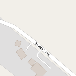
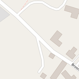
Nearby Streets
| Name | Average Price | Average Sqft | Distance |
|---|---|---|---|
| Broom Lane | £ 800,000 | 0 | 0.00 KM |
Nearby Transport
| Name | NLC | TLC | Distance |
|---|---|---|---|
| Axminster | 5714 | AXM | 6.53 KM |
Nearby Listings
| Address | Price | Type | Score | Distance |
|---|---|---|---|---|
| Tytherleigh, Axminster, Devon, EX13 | £ 425,000 | BUY | 7 / 10 | 0.37 KM |
| Henley Close, Chardstock, Axminster, Devon, EX13 | £ 250,000 | BUY | Unknown | 1.94 KM |
| Woodcock Way, Chardstock, Axminster, Devon, EX13 | £ 445,000 | BUY | 7 / 10 | 1.95 KM |
| Henley Close, Chardstock, Axminster, Devon, EX13 | £ 205,000 | BUY | 5 / 10 | 1.96 KM |
| Woodcock Way, Chardstock | £ 350,000 | BUY | Unknown | 1.98 KM |
Nearby Properties
| Address | Price | Distance |
|---|---|---|
| Netherbury House | £ 495,000 | 0.00 KM |
| Anglers | £ 230,000 | 0.00 KM |
| Orchard Cottage | £ 300,000 | 0.00 KM |
| Camden | £ 405,000 | 0.00 KM |
| The Dutch Barn | £ 478,938 | 0.01 KM |